
Planning a day out on the water around the UK? Whether you're navigating the rugged coastlines of Cornwall, cruising inland along the Norfolk Broads, or launching from a hidden slipway in Scotland, the right app can make all the difference. From tides and speed tracking to finding launch points, here’s your essential list of boating apps.

1. Savvy Navvy: "Google Maps for the Water"
Developed right here in the UK, Savvy Navvy brings a fresh, intuitive experience to marine navigation. Think of it as Google Maps for boaters, but with weather, tides, and boat speed all built in. It's incredibly easy to use.
Features:
- Intelligent route planning based on wind, tides, and boat specifications
- Real-time UK tide data and weather
- Boat speed tracking and ETA
- Marina, anchorage, and launch site information across the UK
- Works on mobile, tablet, and desktop
Why it stands out:
Built for British waters and sailors, Savvy Navvy offers everything in one simple platform — no need to juggle multiple apps.
Download Google Play Store
Download Apple Store

2. Navionics: The Gold Standard for Marine Navigation (Global, but widely used in the UK)
Best for: Detailed maps, tide information, and route planning
Navionics is a global favourite for boaters, including those in the UK. Offering detailed charts for coastal and inland waterways, Navionics is an excellent choice for navigating British waters, whether you’re sailing in the English Channel or exploring the lakes of the Lake District.
Key Features:
- Chart Updates: Constantly updated charts give you the latest on waterways and obstacles in the UK
- Tides & Currents: The app provides tide and current information for thousands of locations in the UK, including popular spots such as the Solent, Scottish lochs, and the Channel Islands.
- Route Planning: Plot your course and follow recommended routes with ease.
- Boat Speed Tracking: While Navionics integrates seamlessly with GPS systems, it can also be used in conjunction with various apps and devices to track boat speed.
Why it’s great for you:
If you’re exploring coastal waters or venturing into unfamiliar areas, Navionics offers top-notch mapping and tidal data specific to UK locations.
Download Google Play Store
Download Apple Store

3. iNavX: A Full Navigation Solution (Global with UK Chart Support)
Best for: Comprehensive navigation and global chart access, including the UK
iNavX is a powerful navigation app that supports a variety of chart providers, including UK-specific charts like Admiralty. Whether you're sailing along the south coast or venturing into the Scottish Highlands, iNavX has got you covered.
Key Features:
- Global Chart Coverage: Access UK marine charts, including Admiralty and other chart providers.
- Tides & Weather: Real-time tide and weather data specific to the UK’s tidal zones.
- Speed & Course Tracking: iNavX tracks your speed, and you can sync it with compatible GPS units for boat speed readings.
- Waypoint Management: Save and share waypoints to navigate the UK's canals, rivers, and coastline.
Why it’s great for you:
iNavX is perfect for UK sailors or boaters looking for a professional-grade navigation solution with all the essentials like tide charts, weather forecasts, and speed tracking.
Download Google Play Store
Download Apple Store

4. UK Tides: Essential for Tide Data
Best for: Detailed UK tide charts and tide times for various locations
If your boating adventures are tide-dependent, UK Tides is the app you need. It focuses specifically on tidal information for the UK, including over 8,000 locations around the coastline.
Key Features:
- Tide Predictions: Detailed tide predictions for UK locations, from the south coast to the Scottish shores.
- Tidal Range: See high and low tide timings, as well as the expected range and tide heights for your planned trip.
- User-Friendly: Simple interface that makes it easy to get tidal information on the go.
Why it’s great for you:
For those boating along the UK's diverse coastline or inland waterways, UK Tides offers an easy-to-read interface and accurate tide predictions.
Download Apple Store

5. MyRadar: Fast Weather Updates for UK Boaters
Best for: Quick weather information, radar, and live satellite views
For UK boaters seeking simple yet effective weather information, MyRadar offers a fast and user-friendly way to check the weather, radar, and tides. While not specifically UK-focused, it includes data from around the world, including up-to-the-minute weather for the UK.
Key Features:
- Radar and Weather Maps: Real-time radar imagery and weather conditions for the UK’s coastal and inland waters.
- Tide Information: Provides tidal data for UK locations, so you’re always prepared.
- Marine weather: The app tracks key factors like wind speed and rainfall, perfect for checking conditions before you set out.
Why it’s great for you:
MyRadar is perfect for boaters looking for simple and effective weather and tide information while out on UK waters.
Download Google Play Store
Download Apple Store
In Summary:
For most SIB owners in the UK, Savvy Navvy is the top all-in-one choice. But if you like a bit more control or specificity, you can mix and match:
- Use Savvy Navvy for planning: tides.
- Combine with: UK Tides for a second tide source.
- Use: Navionics for in-depth navigation or sonar mapping.
- Keep MyRadar handy for quick weather checks.
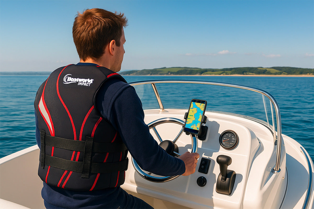
Looking for the perfect small inflatable boat for your UK trips?
Explore the Boatworld Air V 300, our compact Lite 220, or the 280 SLD models. Whether you're cruising, fishing, or exploring, there's a Boatworld SIB to suit you.

Leave a comment
This site is protected by hCaptcha and the hCaptcha Privacy Policy and Terms of Service apply.